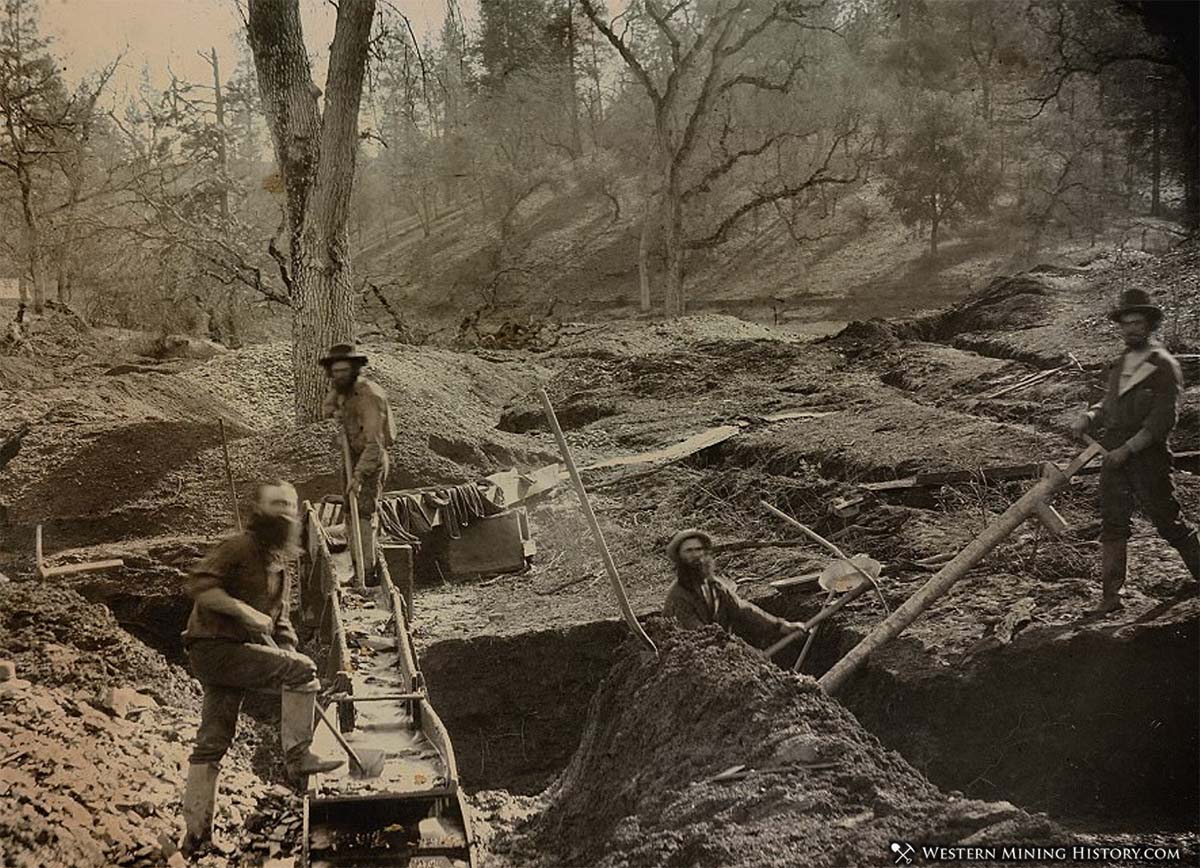
The western states have produced massive amounts of placer gold since the 1848 discovery of gold at Coloma, California. Placer districts throughout the West were heavily mined almost continuously for over a century by a variety of methods.
Despite this previous activity, there is still plenty of gold to be discovered. Thousands of gold placer claims are maintained in every state, evidence that there is still gold to be discovered, and in many cases is being actively mined.

Evaluating the top counties on the potential for gold discovery can be done by looking at several important factors – historical production, modern mining activity, availability of water, and land being open to prospecting. One way to evaluate all these factors at once is to simply follow the footsteps of the modern experts in this field – the miners and prospectors that are already finding gold.
How do we know where the experts are finding gold today? By looking at where the gold-related placer claims are most common. WMH has analyzed 2020 placer claim data and determined what US counties have the highest density of placer claims by land area.

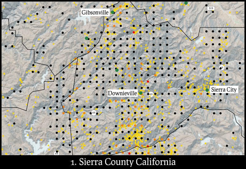
Plotted on the maps are gold mines (gold dots), mining towns (green dots), and PLSS section centers (black, orange, and red dots) for sections that contain active placer claims. The placer claim dots are color coded by the number of claims in that section – black dots: 1-7 placer claims per section, orange dots: 8-14 placer claims per section red dots: 15 or more placer claims per section.
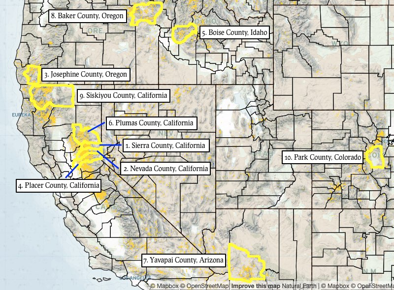
These are the top ten US counties for gold discovery potential, ranked by density of active gold-related placer claims.

Sierra County, California is the only county in America that has more active placer mining claims than square miles of land area. With 992 active placer claims and a land area of 962 square miles, Sierra County has a ratio of claims to land area of 1.091, the highest score in this list.